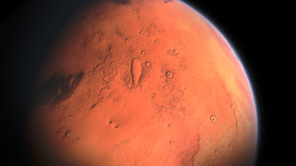
Mars is one of the planets in our solar system that we know very little about. We don't have a good understanding of its climate and surface features. However, we do know that it has a magnetic field and that it has water ice on its surface.
Recently, a team of researchers from the University of Arizona published a study in the journal Geophysical Research Letters that found evidence of massive floods on Mars. The study used data from the Mars Reconnaissance Orbiter (MRO) to identify channels that were formed by floods.
The Barren
Mars is today barren and desolate, but it once possessed water like our Earth did 3.7 billion years ago. It may have also been vulnerable to flash floods, according to new discoveries, particularly in the craters. Images from NASA's Perseverance rover, which is now based in the Jezero crater, were used to come up with the findings, which were published in a scientific publication.
Perseverance sent back a few photographs of the Martian terrain just before Earth's communications with the newest Mars rover were cut off for the time being. Scientists deduced from the photographs that this location on Mars has seen flash floods in the past. The Martian atmosphere was thick enough about 3.7 billion years ago to maintain rivers that eventually gave rise to the fan-shaped delta.
Floods on Mars have been confirmed by a NASA rover.
The little outcrop is meant to resemble a river delta that feeds into a lake. Global warming events in the later phases resulted in a flash flood in that area, which was subsequently dried up.
According to geologists, this lake within the crater previously had enough water to completely fill its eastern rim. The size of the lake has changed dramatically over the years, with water levels falling and rising by several yards.
“If you look at these images, you’re basically staring at this epic desert landscape. It’s the most forlorn place you could ever visit. There’s not a drop of water anywhere, and yet, here we have evidence of a very different past. Something very profound happened in the planet’s history,” said Benjamin Weiss, professor of planetary sciences in MIT’s Department of Earth, Atmospheric and Planetary Sciences.
The formation that led to this conclusion is known as Kodiake butte, and it has been photographed from orbit by spacecraft for many years. The Mastcam-Z and RMI photos were taken by the Perseverance rover, on the other hand, revealed the rock layers, which supplied insights into the history.
“Never before has such well-preserved stratigraphy been visible on Mars. This is the key observation that enables us to once and for all confirm the presence of a lake and river delta at Jezero. Getting a better understanding of the hydrology months in advance of our arrival at the delta is going to pay big dividends down the road,” Nicolas Mangold, a Perseverance scientist told JPL.
“A better understanding of Jezero’s delta is a key to understanding the change in hydrology for the area and it could potentially provide valuable insights into why the entire planet dried out," said Sanjeev Gupta, a Perseverance scientist from Imperial College, London, and a co-author of the paper.Labels : #Astronomy ,#Mars ,#Outside Earth ,


