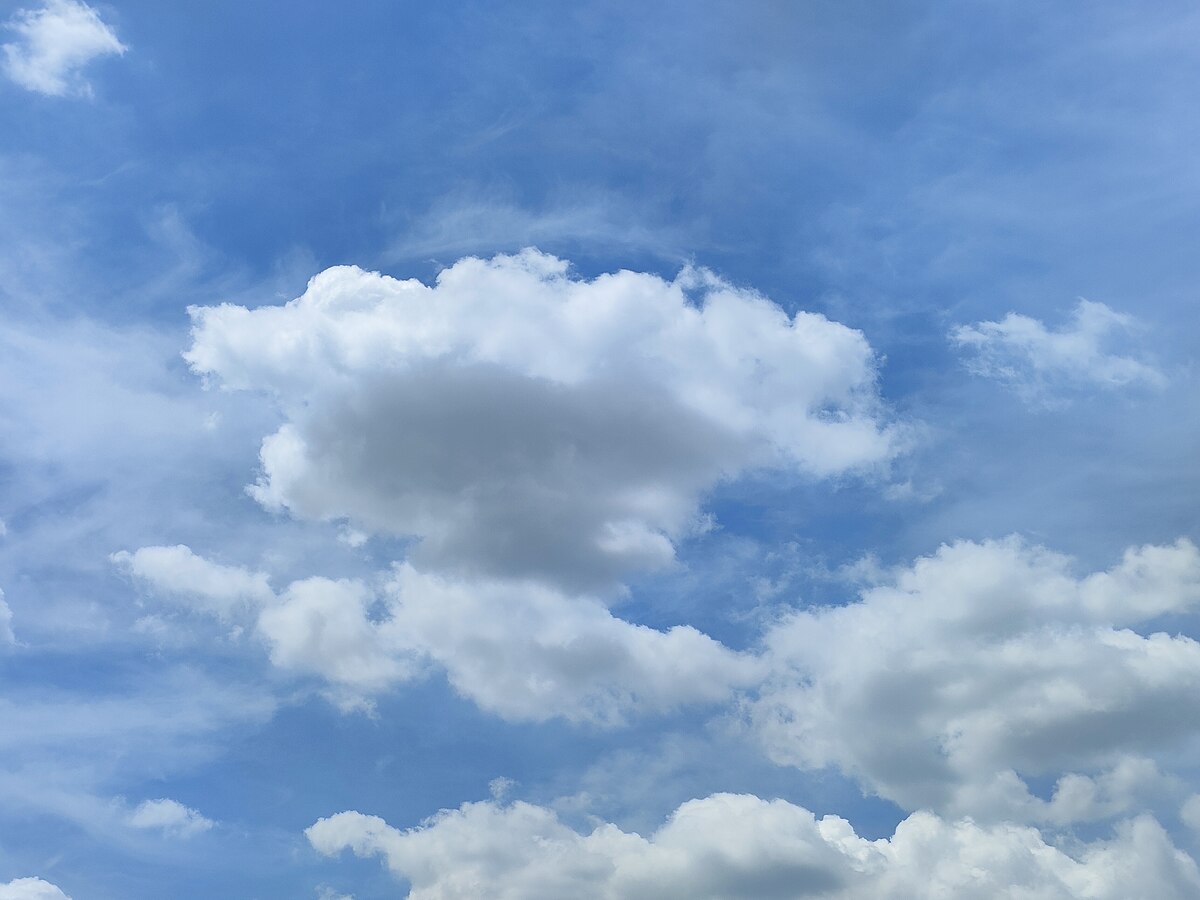
A visible mass of minute liquid droplets, frozen crystals, or other particles suspended in the atmosphere of a planetary body is known as an aerosol. The droplets are made up of water or other substances.
Different forms of clouds will be discussed in this blog. Let's start with an explanation of what clouds are.
One of nature's most obvious miracles is a glimpse of what's going on in the sky.
Clouds are enormous clumps of small water droplets in the atmosphere that attach to dust particles. They are available in a variety of shapes and sizes. Some are close to the earth, while others are thousands of feet in the air.
Scientists have devised a system for categorizing the many sorts of clouds. Each cloud you observe can be classified into one of several groups based on its general form and altitude in the atmosphere.
Cirrus Clouds-Feathery white clouds
These are the tallest, most thin, and wispy clouds in the atmosphere. Cirrus is derived from the Latin word cirrus, which means "coil of hair," and as a result, they have a lovely curve. They'll come up on days when the sky is clear and there isn't much of a breeze. Because of the cold temperatures high in the atmosphere, these clouds are typically made up of ice crystals, which give them their dazzling, white appearance.
Because they grow in flat sheets, cirrus clouds are not as dense as other types of clouds. They're also dispersed in patches with large sky breaks in between, creating thin, wispy sheets over a blue background. Cirrus clouds float calmly from west to east since they are so far above the ground and aren't generally impacted by changing weather on the earth's surface.
Cumulus clouds-White puffy clouds
Cumulus clouds are dazzling white and resemble large cotton puffs. Cumulus is a Latin term that means "heap" or "pile." This is due to the fact that these clouds are very thick and tall, and they are growing upward.
The word accumulate, which means to amass in increasing proportions, is a good method to remember this. These clouds are gathering and heaping up. The tops are usually made out of spherical pieces, and the bases are usually flat. Cumulus clouds are vertically forming clouds, meaning they can grow to be very tall.
Stratus Clouds-Low grey clouds
Stratus clouds are dense, murky clouds that resemble fog but haven't yet reached the earth. In fact, some of these are made up of fog that has floated up from the ground. These are low-altitude clouds, as you would have guessed. They're nowhere near the top of the atmosphere. When people say it is a drab and cloudy day, they usually mean these thick, uniform clouds. When a hybrid nimbostratus cloud forms, it produces a light, drizzling rain or snow.
Nimbus clouds-Dark heavy rain clouds
The word nimbus means "rain" in Latin so these are the clouds that are going to be producing your rain. Any cloud with the prefix "nimbo" or the suffix "nimbus" is some type of rain cloud. For example, like I said before, a nimbostratus cloud is a stratus cloud that will cause rain or snow. Since stratus clouds are those dull, gray, featureless "fog" clouds, nimbostratus will be seen on those gray, rainy days.
Cumulonimbus cloud
This is a cumulus topped with a nimbus. The enormous, heaping clouds that are currently raining can be seen here. They have the potential to be gigantic. Only one cloud can have a base as low as 100 feet and as high as 39,000 feet! This is the type of storm you're dealing with. They'll form into an anvil shape, indicating a huge storm. Severe thunderstorms and tornadoes are associated with this type of cloud. A spinning column of air paired with a cumulonimbus cloud forms tornadoes.
Sub-Types and Their Functions
There are sub-types of cirrus, cumulus, and stratus, including altocumulus and altostratus, cirrocumulus, and cirrostratus. Within each category, there are various varieties of clouds. As previously stated, there are hybrid types, such as distinct forms of nimbus clouds and different types of cirrus and stratus clouds.
Nimbostratus and cumulonimbus clouds have been discussed particularly. The phrases cirrus, cumulus, stratus, and nimbus can all be used to describe most clouds. Cirrocumulus and cirrostratus are two examples.
Cirrocumulus-Small patchy white clouds
A cirrocumulus cloud is a vertically forming cloud that appears like a cumulus cloud but is much higher up in the atmosphere since cirrus clouds are so high up.
Cirrostratus clouds
These are thin, wispy sheet clouds, and what's cool about them is that when it's dark and you view the moon, you'll notice that the moon has a halo-like look around it, which is generated by these clouds. It's light refracting through the moisture of the clouds.
Keep in mind that there aren't any cirronimbus or nimbocirrus clouds. This is due to the fact that cirrus clouds rarely rain. They're really up in the atmosphere and aren't as affected by our weather as we are. When it rains, tiny ice crystals fall from the cloud, and because the cloud is so high above, they usually evaporate before they reach the ground.
Getting To More Strange Clouds
Aside from the basic cloud types, some unusual cloud patterns have been observed over time. Lenticular clouds can be found.
These are saucer clouds with a lens aspect that mimic a UFO. They grow at high altitudes, such as on top of a mountain or a hill, and hug the hill, causing a fog to form in the vicinity. It's terrifying and spooky, but also stylish. So there you have it, a quick review of the many cloud kinds.
Labels : #Nature ,#Science ,#Science Choices ,


